Personen
Professor_innen
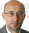
Prof. Dr. Thomas Brinkhoff
Geoinformatik, Informatik
Kontakt
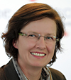
Prof. Dr. rer. nat. Ingrid Jaquemotte
Vermessungskunde, Datenverarbeitung
Kontakt

Prof. Dr. rer. nat. Sascha Koch
Informatik
Kontakt
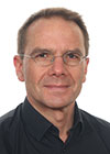
Prof. Dr.-Ing. habil. Enrico Mai
Vermessungskunde und Raumbezug
Kontakt
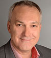
Prof. Dr. habil. Roland Pesch
Grundlagen und Anwendungen von Geoinformationssystemen
Kontakt

Prof. Dr. rer. nat. Stefan Schöf
Informatik
Kontakt
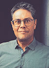
Prof. Dr. rer. nat. Frank Schüssler
Geoinformation und Wirtschaftslehre
Kontakt
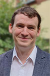
Prof. Dr. habil. Till Sieberth
Photogrammetrie
Kontakt

Prof. Dr.-Ing. Jan Stielike
Planung städtischer und ländlicher Räume
Kontakt

Prof. Dr.-Ing. Hero Weber
Vermessungskunde, geodätische Messwertverarbeitung
Kontakt
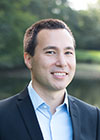
Prof. Dr.-Ing. Andreas Wichmann
Kartographie und Geovisualisierung
Kontakt

Prof. Dipl.-Ing. Harry Wirth
Ingenieurvermessung und industrielle Messtechnik
Kontakt
Lehrkräfte für besondere Aufgaben

Dr. Roland Hergert
Wirtschaftsingenieurwesen Geoinformation
Kontakt
Lehrbeauftragte
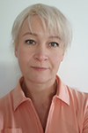
Dipl.-Math. Natalia Chernov
Mathematik
Kontakt

Dipl.-Ing. Gerd Fabian
Entwicklung des ländlichen Raums
Kontakt

Dr. Horst Freels
Wirtschaftsprivatrecht I
Kontakt

Dipl.-Ing. Andreas Gollenstede
Programmieren geodätischer Aufgaben
Kontakt

Dr. John Goodyear
Englisch
Kontakt

Dipl.-Ing. Martin Homes
Immobilienwertermittlung
Kontakt
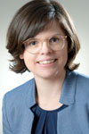
Dipl.-Betriebswirtin, Volljuristin Isabelle Möllers
Wirtschaftsprivatrecht II
Kontakt
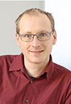
Dr.-Ing. Sven Rosinger
Datenbanken
Kontakt

Jonas Schoo, M.Sc.
GIS (Analyse)
Kontakt

Dipl.-Ing. Katrin Weke
Liegenschaftskataster u. Immobilienwertermittlung
Kontakt

Tobias Werner, M.Sc.
Verwaltung und Analyse von Massendaten (Big Data)
Kontakt

Dipl.-Kfm. Frank Zweigle
Grundlagen Vertrieb und Marketing, E-Commerce, Kommunikation und Verhandlungsführung
Kontakt
Wissenschaftliche und technische Mitarbeiter_innen

Jörn Ahlers, M.Sc.
Labor für Geoinformatik
Kontakt
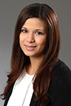
Marion Antons, LL.B.
Studiendekanat Geoinformation
Kontakt

Tobias Berndt, M.Sc.
Labor für Mess- und Auswertetechnik
Kontakt

Stefan Büscher, B.Sc.
Labor für Geoinformatik
Kontakt

Heidi Hastedt, M.Eng.
Labor Photogrammetrie und optische 3D-Messtechnik
Kontakt

Dipl.-Geogr. Stefan Nicolaus
Wirtschaftsingenieurwesen Geoinformation
Kontakt

Thorsten Roelfs, M.Sc.
Geodätische Werkstatt (Leitung)
Kontakt
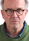
Stefan Scheidweiler
Geodätische Werkstatt
Kontakt
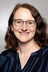
Dipl.-Ing. Lena Wiegand
Studiendekanat Geoinformation
Kontakt
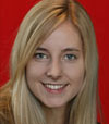
Tanja Willemsen, M.Sc.
Messtechnik und Geodäsie
Kontakt

